Activity GEO-SEIS D.O.O.
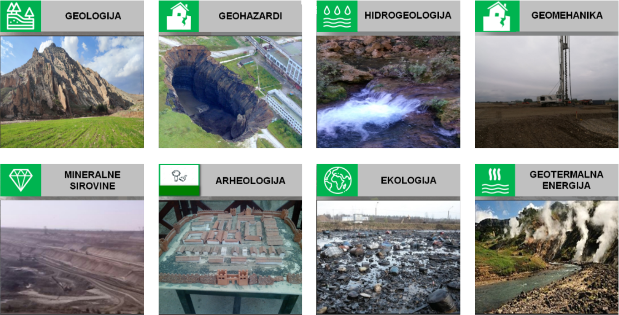
Company GEO-SEIS provide services in:
Hydrogeology
Several geophysical methods can be used for groundwater research. Geophysical survey can determine:
- Depth to groundwater level
- The thickness of the aeration zone
- Separation of water-bearing and water-impermeable environments from the complex sedimentary series
- Contouring of fractured rocks and estimation of their thickness
- Detection of hydrogeological active faults
- Fracture mapping
- Determining the degree of water mineralization
- Determining the thickness of zones with fresh water
- Contouring of the area of groundwater recharge and runoff
- Direction and speed of groundwater filtration
- Contouring of structures with thermal waters
- Regional watershed mapping
- Determination of karst areas
Methods:
- Geoelectric tomography (2D, 3D)
- Reflection seismic (2D, 3D)
- Refraction seismic
- Seismic tomography
- Electromagnetic methods
Civil engineering and geotechnics (geomechanics)
Engineering geophysics deals with the study of the uppermost parts of the earth's crust in connection with the engineering activity of man. One of the basic tasks is to determine and predict the character of the mutual effect of the engineering object and the geological conditions at the time of construction and exploitation of the object. This is necessary because every construction object acts on the rocks at the base of the foundation. Key benefits geophysical survey: be aware of all hazards related to geologically unstable areas, no costly boreholes required or slash the number of boreholes by drilling at meaningful locations only.
- Finding natural deposits of building materials (stones, gravel, sand, clay, igneous, metamorphic and sedimentary rocks, ...)
- At the construction sites of residential and industrial buildings (determining the depth and character of the environment suitable for foundations, discovering potential zones of unstable slopes, such as landslides, scree zones, ...)
- At the construction sites of hydrotechnical facilities (assessment of the water-retaining properties of the rocks near the reservoir basin, determination of unstable parts of the rocks in the domain of the reservoir basin, determination of the thickness and character of sediments, barrier sites and dams, water-retention testing during the exploitation phase)
- Tests in hydraulic tunnels and other underground facilities
- In traffic construction, during the construction of highways, main roads, railways, airstrips and during the reconstruction of roads (along the entire projected route, a geological cross-section of 5 - 40 m depth is obtained, locating faults and possible landslides)
- Micro-seismic tests during the construction phase of tunnels, supply tunnels, galleries (detection of caverns, damaged zones in the vicinity of the excavation, stress state, dynamic modulus of elasticity in the zones of hydraulic cushions, test chambers)
- Tests during the construction of energy transmission systems (power lines, pipelines, wind farms)
- Tests of earth embankments on the banks of rivers and canals (tests are carried out at the time of the highest and lowest water levels in rivers and canals)
- Landslides studies (determining the position of the sliding surface, the extent of the landslide, determining the thickness and extent of individual areas in the body of the landslide, ...)
- Seismic micro-reionization of the settlement
Methods:
- Geoelectric tomography (2D, 3D)
- Reflection seismic (2D, 3D)
- Refraction seismic
- Seismic tomography
- Active and passive MASW, SASW
Mining
Geophysical methods have proofed to be very useful in mining projects. Geophysical surveys generally look for concentrations of anomalously high values of a given property being measured (electrical conductivity, density, seismic velocity, magnetic susceptibility).
- Exploration of mineral resources (detection, laying of ore bodies, extent, size, shape, structure)
- Quantitative parameters for reserves estimation, rock rippability in quarries and underground excavation
- Investigation of shear zones, dykes, conductive, clay filled or resistive quartz formations, these formations may host the desired mineral
- Mapping depth to bedrock and bedrock topography
- Investigations of lithology
Methods:
- Reflection seismic (2D, 3D)
- Geoelectric tomography (2D, 3D)
- Refraction seismic
- Seismic tomography
Environmental and archaeology
Geophysics in environmental is trying to make image and understand the properties and processes in the top ~100 meters of the earth. This is the region of the earth that has a direct and daily impact on our lives (and on which we have a direct and daily impact) yet we know surprising little about this near-surface region. Our work in environmental geophysics involves theoretical modeling and field work. We use two geophysical methods for proposal the solution wide range problems.
Geophysical methods are a way to explore the subsurface when archaeological targets may be present. Geophysical surveys can map and describe cultural remains economically in a non-invasive way. This approach enhances the possibility to study larger areas in a single project and allows an understanding of sites in a wider context. Geophysics can also help archaeologists to select excavation locations with previous geophysical information by optimizing resources and increasing the effectiveness of excavations.
- Environmental protection (groundwater pollution, spillage of dangerous substances,...)
- Research of covered waste landfills
- The mapping of archaeological remains (locating and defining buried houses, roads, settlements)
- Detection of underground cavities
Methods:
- Geoelectric tomography (2D, 3D)
- Reflection seismic (2D, 3D)
- Refraction seismic
- Seismic tomography